At a glance
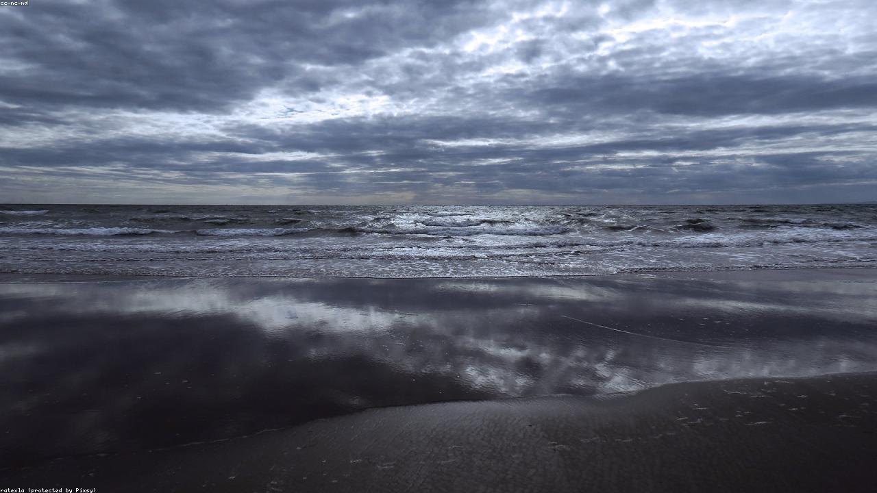
Blue Flag beach at the mouth of the Mawddach Estuary — a traditional Welsh seaside town directly on the Cambrian Coast railway, with the 900-metre Victorian railway bridge, estuary walks and Cadair Idris 5 miles inland. Free beach.
About Barmouth Beach
Barmouth — Abermaw in Welsh — is a traditional Welsh seaside town at the mouth of the Mawddach Estuary on the Cardigan Bay coast, backed by the foothills of southern Snowdonia and facing west across the Irish Sea. Its long Blue Flag beach runs south from the harbour for over a mile, with the characteristic Victorian and Edwardian seafront of a town that has been welcoming railway-borne visitors since 1867.
The Cambrian Coast railway reaches Barmouth directly from Birmingham, Shrewsbury and Machynlleth — one of the finest scenic rail routes in Britain, clinging to the cliffs above Cardigan Bay before sweeping across the Mawddach Estuary on the 900-metre Barmouth Viaduct, a wooden and iron structure of 1867 that still carries trains daily. A pedestrian walkway alongside the railway track allows walkers to cross the estuary on foot (small toll), connecting to the 9-mile Mawddach Trail cycle path and footpath to Dolgellau.
Barmouth serves as the natural base for exploring the southern section of Snowdonia. Cadair Idris — at 893 m the dominant mountain of southern Snowdonia — is 5 miles inland, and its principal routes start within 10 miles of the town. The mountain's dramatic profile is visible from the beach and estuary on clear days.
What to see and do
- Blue Flag beach — Over a mile of firm sand — lifeguard service in season, beach wheelchair available from the RNLI station.
- Barmouth Viaduct — Walk across the estuary on the pedestrian walkway alongside the 1867 railway bridge — views to Cadair Idris and the wooded estuary banks.
- The Mawddach Trail — 9-mile traffic-free walking and cycling path from Barmouth to Dolgellau along the southern estuary shore — the finest easy route in southern Snowdonia.
- Panorama Walk — A 30-minute walk above the town giving outstanding views of the estuary, the bay and the Llŷn Peninsula.
- Dinas Oleu — The small hill above the town was the very first property acquired by the National Trust, donated in 1895 — a fine short walk from the seafront with good views.
Find it on the map
Frequently asked questions
Yes — Barmouth Beach holds Blue Flag status, awarded annually to beaches that meet standards for water quality, safety, environmental management and facilities. Blue Flag status is assessed and awarded by Keep Wales Tidy on behalf of the Foundation for Environmental Education. The water quality at Barmouth is regularly tested and meets the required standards.
Yes — Barmouth has its own railway station (Barmouth station) on the Cambrian Coast Line, served by Transport for Wales. Direct services run from Machynlleth, Shrewsbury and Birmingham New Street to the south, and from Pwllheli to the north. The station is a 5-minute walk from the beach. Arriving by train is the most enjoyable way to visit — the Cambrian Coast line itself is one of the great scenic railway journeys in Britain.
The Barmouth Viaduct (Pont Abermaw) is a 900-metre timber and iron railway bridge built in 1867 that carries the Cambrian Coast railway across the mouth of the Mawddach Estuary. It is one of the longest wooden railway viaducts in Wales. A pedestrian toll walkway runs beside the railway track, allowing walkers to cross the estuary on foot — it connects to the Mawddach Trail, a 9-mile traffic-free cycle path and footpath along the southern shore of the estuary to Dolgellau.
Yes — the Pony Path route up Cadair Idris starts from Llanfihangel-y-Pennant, approximately 7 miles from Barmouth by road, and from Minffordd (9 miles). The Minffordd Path from the Idris Gates car park (Cader Road, LL36 9AJ) is the most rewarding and direct route. Allow a full day from Barmouth — drive to the trailhead, walk Cadair Idris, and return to Barmouth for the evening.
The Mawddach Estuary is a wide, wooded tidal estuary stretching 9 miles inland from Barmouth to Dolgellau, flanked by the hills of Snowdonia. The estuary is an SSSI and is noted for its bird life — herons, egrets, oystercatchers and in winter large numbers of wildfowl. The Mawddach Trail follows the southern shore from Barmouth station to Dolgellau — one of the finest easy walking and cycling routes in Wales with constant views to Cadair Idris across the water.
Barmouth is a traditional seaside town with amusements, cafés and fish and chip shops along the seafront. Beyond the beach, the Panorama Walk above the town gives outstanding views of the estuary and coast (30 minutes from town). The RNLI lifeboat station at the harbour is open for visits in summer. The Barmouth Bridge pedestrian walkway (small toll) connects to the Mawddach Trail. Dinas Oleu above the town was the first property acquired by the National Trust, in 1895.