At a glance
Porthmadog is the heritage railways town of North Wales — southern terminus of the Ffestiniog Railway (to Blaenau Ffestiniog, 14 miles) and northern terminus of the Welsh Highland Railway (to Caernarfon, 25 miles through Snowdonia). Portmeirion is 2 miles east; Morfa Bychan beach 2 miles west; the Llŷn Peninsula starts here. The Cob embankment across the Glaslyn estuary, built 1807–1811, is the town's engineering centrepiece. Served by the Cambrian Coast Line railway from Barmouth and Machynlleth.
About Porthmadog
Porthmadog was a deliberate creation. William Madocks, a Welsh MP and entrepreneur, purchased the marshland at the mouth of the Glaslyn estuary in the early 19th century and built the Cob — a mile-long stone embankment that reclaimed 7,000 acres of productive farmland from the tidal estuary and created a sheltered harbour at the Glaslyn's mouth. The harbour became the principal export point for the slate quarried in the mountains above Blaenau Ffestiniog, and the narrow-gauge Ffestiniog Railway, opened in 1836, carried the slate down from the quarry face to the harbour quay. At the peak of the slate trade in the 1890s, Porthmadog was exporting more slate roofing material than any other port in Britain.
The slate trade ended in the 20th century but the railway survived — preserved from 1955 by volunteers who recognised that the infrastructure of the slate economy had an intrinsic value beyond its original commercial purpose. The Ffestiniog Railway became the model for the entire preserved railway movement in Britain, demonstrating that narrow-gauge industrial railways could be restored, operated, and made financially viable as visitor attractions. The Welsh Highland Railway, restored over several decades and completed to its full route in 2011, connects Porthmadog south to Caernarfon through the Aberglaslyn Pass — a 25-mile journey through some of the finest mountain scenery in Wales, and one of the most ambitious railway restoration projects in British history.
Portmeirion, 2 miles east around the estuary, adds a layer of the extraordinary to what is already a town of considerable interest. Sir Clough Williams-Ellis built his Italianate fantasy village on the wooded Dwyryd estuary headland between 1925 and 1975 — an act of architectural imagination on a scale and with a quality of execution that places it in a different register from any other designed landscape in Britain. It is emphatically not in Porthmadog, but no visit to the town is complete without it.
What to see and do
- Ffestiniog Railway — preserved narrow-gauge railway through Snowdonia to Blaenau Ffestiniog (14 miles).
- Welsh Highland Railway — 25 miles south to Caernarfon through the Aberglaslyn Pass and Beddgelert.
- The Cob — walk or drive across the mile-long estuary embankment with Snowdon views.
- Portmeirion — Sir Clough Williams-Ellis's Italianate village 2 miles east (admission required).
- Morfa Bychan (Black Rock Sands) — large sandy beach 2 miles west of town.
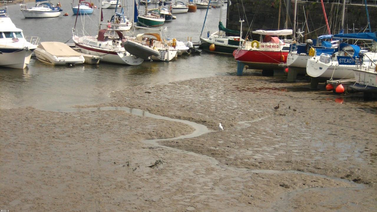
- Porthmadog Harbour — working harbour; Maritime Museum in the old slate warehouse.
- Criccieth Castle — Welsh and English medieval castle 5 miles west on the Llŷn coast (Cadw).
Getting to Porthmadog
By rail: Cambrian Coast Line from Machynlleth (1 hour 20 minutes) and Barmouth (50 minutes); connections to Birmingham. Narrow-gauge: Ffestiniog Railway to Blaenau Ffestiniog; Welsh Highland Railway to Caernarfon.
By road: A487 from Caernarfon (25 miles north) or Dolgellau (22 miles south via Maentwrog). From Betws-y-Coed: A470 south to Maentwrog, then A487 — 22 miles. From Manchester: M56, A55, A487 — approximately 120 miles, 2 hours.
Parking: Harbour car park and town centre car parks on the A487. The town is compact; parking is generally adequate outside peak summer weeks.
Find it on the map
Frequently asked questions
Porthmadog is known principally as the southern terminus of the Ffestiniog Railway — the narrow-gauge preserved railway that runs 14 miles through the mountains to Blaenau Ffestiniog — and the northern terminus of the Welsh Highland Railway, which runs 25 miles south to Caernarfon through the Aberglaslyn Pass and Snowdonia. The town is also the gateway to the Llŷn Peninsula (the long westward arm of North Wales ending at Bardsey Island), and Portmeirion — Sir Clough Williams-Ellis's extraordinary Italianate village — is 2 miles east around the Glaslyn estuary.
The Cob is a mile-long stone embankment built across the mouth of the Glaslyn estuary between 1807 and 1811 by the engineer William Madocks, who gave his name to the town. The embankment reclaimed fertile agricultural land from the estuary and created the harbour that made Porthmadog a major slate-shipping port. Today the Cob carries the A487 road and the Ffestiniog Railway across the estuary, and the footway alongside provides one of the finest estuary views in Wales — Snowdon visible on clear days at the head of the valley.
Porthmadog is served by the Cambrian Coast Line railway (services south to Barmouth, Machynlleth, and Birmingham) and Arriva buses along the A487 from Caernarfon and Dolgellau. The Ffestiniog and Welsh Highland Railways provide scenic narrow-gauge connections to Blaenau Ffestiniog and Caernarfon respectively. By road, the A487 approaches from Caernarfon (25 miles north) and Dolgellau (22 miles south). From Manchester: M56, A55 to Bangor, A487 south — approximately 120 miles, 2 hours.
Portmeirion is approximately 2 miles east of Porthmadog around the Glaslyn estuary, accessed via the A497 to Minffordd and then the estate road. It is not easily walkable from the town (the intervening estuary and woodland make a direct approach impossible) but is a very short drive. The Ffestiniog Railway stops at Minffordd station, which is a 10-minute walk from the Portmeirion entrance. Portmeirion requires a separate admission and is worth allowing a minimum of 2–3 hours.
The closest beach to Porthmadog is Morfa Bychan (Black Rock Sands) — a broad sandy beach 2 miles west of the town accessible by car and seasonal bus. It is one of the longest sandy beaches in North Wales and allows vehicles on the sand. Further south, the beaches of the Llŷn Peninsula — Llanbedrog, Abersoch, Porth Dinllaen, Hell's Mouth — are accessible within 30 minutes by road. Portmeirion has its own private beach on the estuary, accessible to visitors with entrance tickets.
Yes — Porthmadog is the natural eastern gateway to the Llŷn Peninsula and makes a good base for both the peninsula and southern Snowdonia. The A497 to Criccieth (5 miles west) and A499 to Pwllheli (12 miles west) give access to the peninsula's beaches and the interior. Blaenau Ffestiniog (for Llechwedd Slate Caverns and Zip World Bounce Below) is 14 miles north by railway. The town has good accommodation across all price levels and is considerably less crowded than Snowdonia's mountain village bases in peak season.