At a glance
The highest point in the Clwydian Range AONB at 554 m — an accessible 2–3 hour walk from Bwlch Penbarra car park to the ruined Jubilee Tower, with panoramic views to Snowdonia, the Dee estuary and Cheshire. Free access.
About Moel Famau
Moel Famau — "Mother Mountain" in Welsh — is the highest summit in the Clwydian Range and Dee Valley Area of Outstanding Natural Beauty (AONB), rising to 554 m above the Vale of Clwyd. Unlike Snowdonia's rugged peaks, Moel Famau is a rounded heather-covered summit with well-maintained paths, making it one of the most accessible and popular hill walks in North Wales for families and casual walkers.
The summit is crowned by the ruined base of the Jubilee Tower, built in 1810 to commemorate the 50th year of George III's reign. The original obelisk collapsed in a storm in 1862 and was never fully rebuilt, but the substantial base remains an obvious landmark. The Offa's Dyke Path National Trail passes over the summit, and the ridge walk north to Moel Arthur and Penycloddiau hill forts is a fine extension for those wanting a longer day.
The surrounding Clwydian Range is notable for its series of Iron Age hill forts — Moel y Gaer, Moel Arthur, Penycloddiau and others line the ridge — and for the heather moorland that gives the landscape its distinctive purple-brown colour in August and September. The range offers a complete contrast to the rocky drama of Snowdonia, 25 miles to the west.
Walking on Moel Famau
Bwlch Penbarra route (recommended)
Park at Bwlch Penbarra car park (CH7 4DY, off the B5429). A clear waymarked path ascends from the car park to the summit in approximately 2.5 km — allow 45–60 minutes up and 40 minutes down. The path is graded and well-maintained; suitable for children and reasonably fit adults.
Country Park route
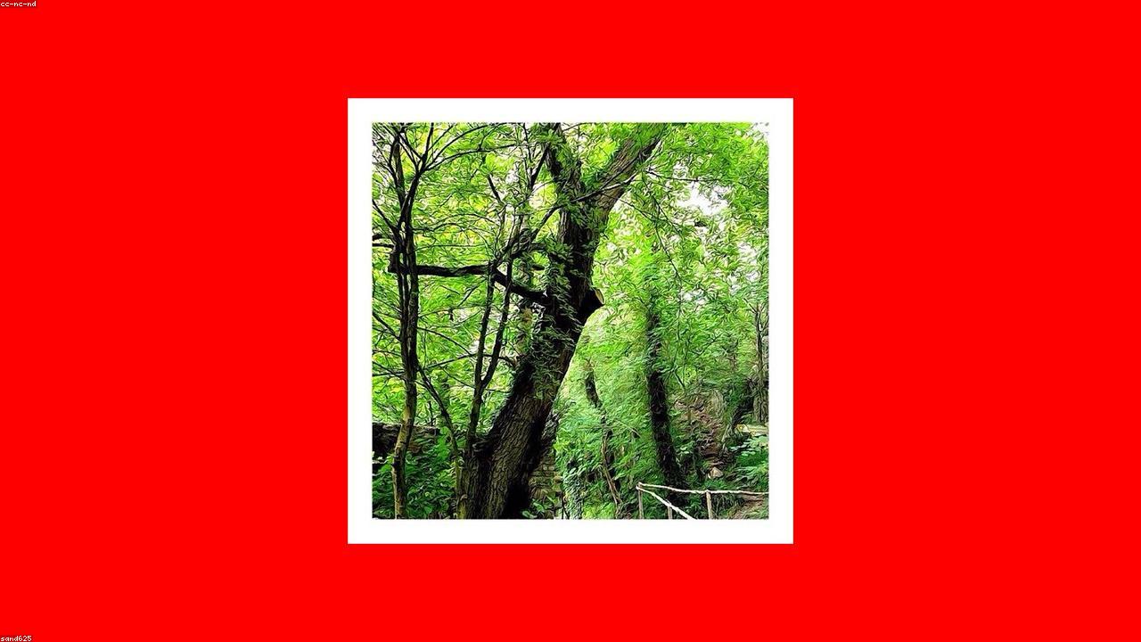
A longer and more forested approach from the east via the Moel Famau Country Park visitor area adds about 2 km each way. This route passes through managed woodland and is excellent for wildlife — red squirrels have been recorded in the area.
Offa's Dyke ridge extension
From the summit, the Offa's Dyke Path continues north to Moel Arthur (455 m, 3 miles) and Penycloddiau (440 m, 5 miles) — both with impressive Iron Age hill forts. A linear walk with transport at both ends, or return the same way.
Safety information
Welsh mountains demand respect. Conditions can change in minutes — even Snowdon in July sees casualties from inadequate kit and unexpected weather.
Carry: waterproofs, walking boots, warm layer, hat & gloves, OS Explorer OL17 (Snowdonia) or OL18 (Harlech & Bala), 1.5 L water, charged phone, head torch. Check the weather at mwis.org.uk on the morning. In an emergency call 999, ask for Police / Mountain Rescue, give your what3words location. Local team: North East Wales Search and Rescue Team (NEWSAR).
Find it on the map
Frequently asked questions
Moel Famau stands at 554 metres — the highest point in the Clwydian Range and Dee Valley Area of Outstanding Natural Beauty (AONB). It is a considerably gentler proposition than Snowdonia's peaks, making it popular with families and those new to hill walking in North Wales.
The Jubilee Tower is a ruined obelisk built in 1810 to mark the 50th year of the reign of King George III. The original tower was much taller but collapsed in a storm in 1862. The remaining base structure — still prominent on the summit — was partly restored in 1970. It is a distinctive landmark visible from much of the Vale of Clwyd.
On a clear day the views from Moel Famau are remarkable for a 554 m hill. To the west, the Snowdonia mountains are clearly visible including Snowdon itself. To the north, the Dee estuary and the Wirral are visible. The Vale of Clwyd stretches out to the southwest. On exceptional days, the Lakeland fells and the Yorkshire Dales can be seen to the northeast.
Yes — the path from Bwlch Penbarra car park to the summit is one of the most family-friendly mountain walks in North Wales. The gradient is gentle, the path is well-maintained, and the summit is reached in about 45–60 minutes at a comfortable pace. The return trip with a picnic is a good 3-hour family outing.
The main car park is at Bwlch Penbarra (CH7 4DY), off the B5429 between Loggerheads and Llanbedr. This is the standard starting point for the summit walk and gives a roughly 2.5 km ascent. A second, smaller car park exists at the Moel Famau Country Park visitor area on the east side.
Yes — the Offa's Dyke Path National Trail runs along the Clwydian Range ridge, passing over Moel Famau and linking to summits including Moel y Waun, Moel Arthur and Penycloddiau. A multi-day section of the trail from Prestatyn south to Llangollen makes an excellent 2–3 day walk along the range.