At a glance
Moel Ty Uchaf Stone Circle (LL21 0TL) — 41 stones in a near-perfect Bronze Age ring at 550 m on the Berwyn hillside above Llandrillo, c.2000 BC. One of the finest stone circles in Wales. 2-mile walk in from Llandrillo. Free. Car recommended. Open at all times. Combine with Pistyll Rhaeadr (8 miles).
About Moel Ty Uchaf Stone Circle
Moel Ty Uchaf Stone Circle stands on the open heather moorland of the Berwyn Mountains above Llandrillo — 41 stones arranged in a near-perfect ring, dating to approximately 2000 BC. The circle is one of the most complete and best-preserved in Wales, its remote position on the upland fringe of the Dee Valley having protected it from the agricultural disturbance that has destroyed or scattered so many lowland monuments. The stones are modest in scale (most under 1 metre in height), giving the circle a quiet, contemplative character quite different from the dramatic megalithic monuments of western Snowdonia or Anglesey. What strikes visitors is the precision of the geometry — the circle is mathematically accurate, implying the Bronze Age builders had methods for setting out a perfect ring across sloping moorland terrain.
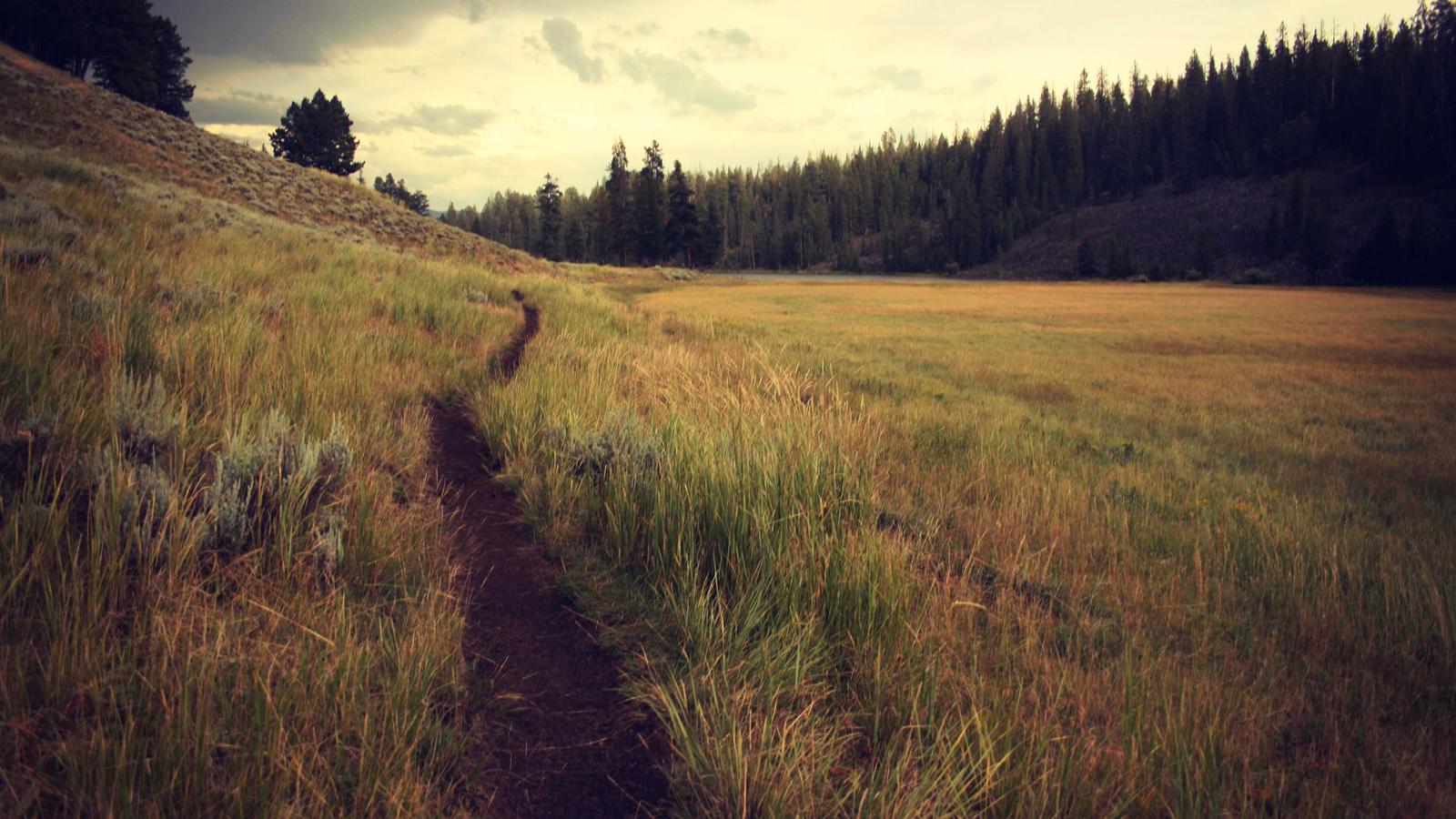
The walk from Llandrillo to the circle (approximately 2 miles, gaining 350 m) passes through heather and rough grassland, with views opening progressively over the upper Dee Valley and the distant mountains. The Berwyns are rarely crowded — on most days the walk to Moel Ty Uchaf and the circle itself will be completely solitary, which adds to the experience. This is one of the more rewarding off-the-beaten-track prehistoric sites in North Wales for visitors willing to walk for their archaeology.
Find it on the map
Frequently asked questions
Moel Ty Uchaf Stone Circle is a Bronze Age stone circle on the hillside of Moel Ty Uchaf in the Berwyn Mountains, approximately 2 miles south-east of Llandrillo in Denbighshire. The circle comprises approximately 41 stones — most still standing, some fallen — arranged in a near-perfect ring approximately 25 metres in diameter. It dates to approximately 2000 BC, making it roughly contemporary with Stonehenge in its later phases. The stones are relatively small (most under 1 metre in height), giving the circle a different character from the dramatic stone circles of western Britain and Ireland — the emphasis is on the precise geometry of the ring rather than the scale of individual stones. Moel Ty Uchaf is regarded by archaeologists as one of the best-preserved and most complete stone circles in Wales, and is a Cadw Scheduled Ancient Monument.
The stone circle is reached by a 2-mile walk from Llandrillo village in the Dee Valley (postcode LL21 0TL). From the village, follow the track and footpath south-east up the hillside of Moel Ty Uchaf — the path climbs approximately 350 m to the circle at approximately 550 m altitude. The walk takes 45 minutes to 1 hour each way. The terrain is open moorland in the upper section — walking boots and appropriate clothing are essential. There is limited roadside parking in Llandrillo. A car is the most practical way to reach the village as public transport in the upper Dee Valley is very limited. The circle itself has no facilities or interpretation boards on site.
Moel Ty Uchaf is significant for two reasons: the completeness of the circle (41 of the original stones are still present, making it one of the most intact stone circles in Wales), and the precision of the ring geometry (the stones are arranged in a mathematically precise circle, suggesting considerable survey skill by the Bronze Age builders). Many Welsh stone circles have lost stones to agriculture or quarrying — Moel Ty Uchaf's relatively remote moorland position has protected it. The site also has astronomical significance that has not been fully investigated: the alignment of the circle relative to horizon features of the surrounding mountains may be deliberate, as at many Bronze Age stone circles. The walk to the circle, through the Berwyn moorland with views over the Dee Valley, adds considerably to the experience.
The Berwyn range is a large upland plateau of moorland and heather that forms the southern border of northeast Wales — less dramatic than Snowdonia but wild and extensive, with the highest point at Cadair Berwyn (827 m). The area around Moel Ty Uchaf is open heather moorland — red grouse country, with a characteristic upland bird fauna including curlew, golden plover (in summer), and merlin. The area is largely unvisited by the crowds that go to Snowdonia, giving it a quiet, remote character. Pistyll Rhaeadr — often claimed to be the highest waterfall in Wales (or England and Wales) at approximately 80 m — is approximately 8 miles south-west of Moel Ty Uchaf, making it a possible combination for a longer day in the Berwyns.
Yes — the Berwyn range contains several prehistoric monuments, though they are scattered and not well-known. On the Berwyn plateau above Pistyll Rhaeadr there are Bronze Age cairns and round barrows. The hillfort of Caer Drewyn above Corwen (5 miles north-west) is the most accessible prehistoric site in the broader area. The Dee Valley as a whole has a number of Bronze Age and Iron Age sites — the valley was a significant corridor in prehistoric times, connecting the Irish Sea coast (via the Menai Strait and Anglesey) with the English midlands. The Ordnance Survey Explorer map OL18 (Harlech, Porthmadog and Bala / Y Bala) shows the known prehistoric monuments in the Berwyn and upper Dee area.